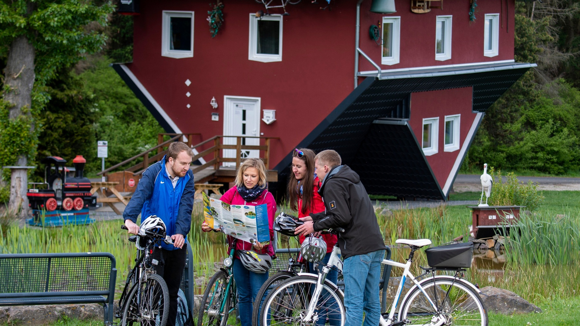
Signage: The cycle path is signposted throughout with the Eder cycle path logo. The arrow signposts are red in NRW and green in Hesse.
Behind the Station in Erndtebrück on the Park & Ride car park is it starting. Here's the first one too information board vom the Eder cycle path.
After leaving Erndtebrück and the beautiful Birkenallee behind you in the direction of Womelsdorf, you enter the somewhat adventurous landscape of Bad Berleburg. In Raumland there is a slate show mine.
After crossing the NRW/Hesse border between Beddelhausen and Hatzfeld, the route takes you leisurely along the old paved railway line over old railway bridges.
Between Reddighausen and Dodenau you come through a 350 meter long tunnel, but only in the warm season. In cold temperatures, the tunnel is closed because of the wintering of the barbastelle bats. There is an alternative route outside the tunnel along the Eder.
We continue in the direction of Frankenberg, where you can discover a bird observation platform with a rest area behind Rennertehausen.
In Frankenberg you first cycle through the industrial area but then arrive at the new Eder-Ufer-Park, which invites you to linger. Here near the water park there is also a bicycle parking facility, a repair station and a battery charging cabinet.
Then it goes on in the direction of the Edersee, on this path there is a hairpin bend between Ederbringhausen and Schmittlotheim in the forest,
this is a short stretch, here you have to be careful not to miss the sign. It then goes down a bit through a small stream. We continue to Herzhausen, where you will also find the national park train station (with battery charging station).
From here, at the western point of the Edersee, you cycle along the south side of the lake to Asel-Süd and continue on a somewhat bumpy path along the edge of the Kellerwald-Edersee National Park. The Edersee is worth a longer stop.
After you have passed the Edersee region with the treetop path and the wild animal park, you continue to the Fritzlar and Felsberg workshops until you reach the mouth of the Eder in the Fulda. You should definitely make a stop at the mouth of the Eder.
From there it is not far to the end point at the beautiful railway viaduct in Baunatal-Guntershausen.
Here you can either continue by train or continue cycling on the R1/Fulda cycle path.
You can cycle to Kassel and take the train back from there, e.g. B. via Marburg to Erndtebrück. So you only have to change once.